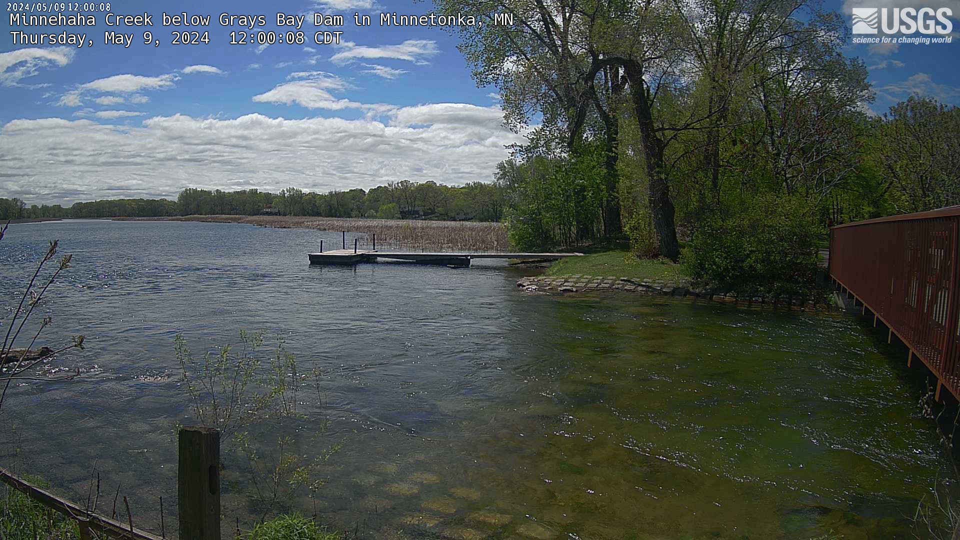
Minnehaha Creek below Grays Bay Dam in Minnetonka
Webcam
Minnehaha Creek below Grays Bay Dam in Minnetonka
44.9533333, -93.4872222
Minnehaha Creek below Grays Bay Dam in Minnetonka
Attribution: USGS (HIVIS)
Nearby Locations
| Location Name | Location Address |
|---|